Democratic Republic of the Congo
Human Geography Label-Me Map
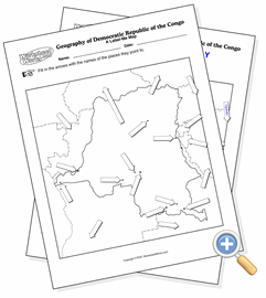
Learn about the geography of Democratic Republic of the Congo
This page creates human geography maps of Democratic Republic of the Congo. You can select from several presentation options, including the map’s context and legend options. Black and white is usually the best for black toner laser printers and photocopiers. This allows to you configure the way Democratic Republic of the Congo is presented so that you can use the map for exactly what you need it for - as a reference, a quiz or something for students to annotate while doing research.
Copyright © 2002-2026 WorksheetWorks.com All Rights Reserved.