World Coordinate Map
Mollweide Projection
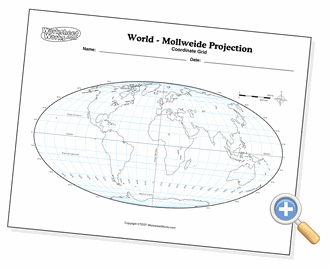
This Mollweide projection map can be configured to display just the navigational coordinate attributes of the Earth such as lines of latitude and longitude, polar and tropic circles, equator and prime meridian. You can also choose to display the compass and map scale.
Copyright © 2002-2026 WorksheetWorks.com All Rights Reserved.